
If you are in England you can set up your digital farm map on fieldmargin in a couple of minutes by importing field boundaries from the Rural Payments Agency.
All you need is access to a computer and your Single Business Identifier (SBI) number. It’s so fast that you can go from a blank canvas to a farm with your fields mapped and cropping set up in your coffee break.
Here’s one we made earlier! We sped this recording up a little bit but this whole process only took about 5 minutes (including typos!) for a farm with about 20 fields.
How to get started
Open the fieldmargin app in your browser. You will need to register with fieldmargin if you don’t have an account yet, then create your farm. It’s free to sign up, and our mapping tools are available on the free plan.

Open the RPA boundary import tool from the import menu on the Fields tab. Enter your SBI number, agree to the terms of use and then search for your fields. A map will appear with all the fields associated with that SBI number and their field references (Ordinance Survey field numbers). These are the the field boundaries that the RPA uses for Basic Payments (BPS) applications.
You can exclude land parcels (for example very small areas or ones that you are not farming) by unticking that parcel on the right hand side. The field reference numbers will populate in the Field ID column, you will then need to give each field a name.
To see which field you are naming, click the blue bullseye to the left of the Field Name column and the map will then zoom in on that field so you can see which it is. Click ‘CREATE’ and your new fields will appear on your farm.

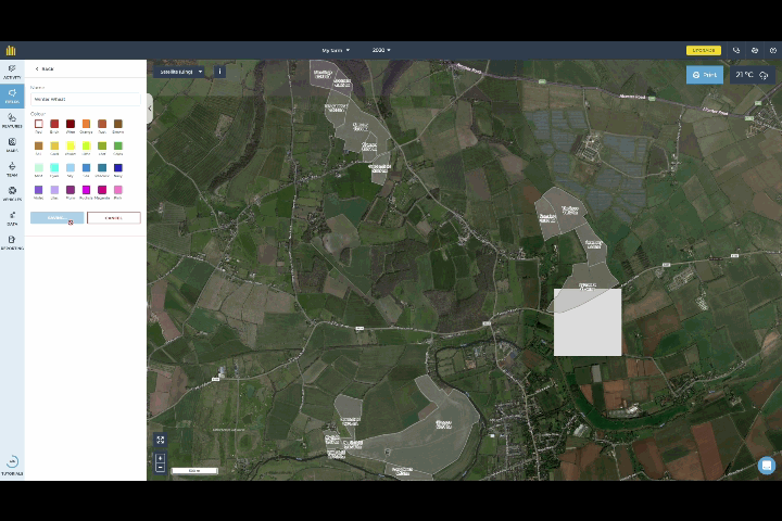
When you create your fields the app will automatically prompt you to set field usages. This is how you record what you have in your fields such as types of crop or pasture. For each usage on your farm you can give it a name and colour and then select the fields with that use by selecting them on the map or from the list. Fieldmargin has the concept of Farm Years so you can see cropping in different seasons to help plan rotations. You can learn more about this here.
Now that you have your farm mapped out, you can add more details using features. Use features to map out more permanent things on your farm, a few things that you may wish to map are:
Everything that you add on the web app is also accessible and automatically kept in sync on the mobile app.

Your fields will be the basis for your farm records. You can use Field Jobs to plan and record field scale work such as cultivations, drilling, spraying, fertiliser applications, harvesting or livestock movements. Field Jobs include inputs to be used such as sprays, planned date, who should do the work and when it was completed. Each field has a history which gives you an easy to refer to timeline of when each job was completed.

You can also add located notes to record issues or observations with pictures. For example patches of weeds or livestock treatments.
It is free to get started with fieldmargin and all of the mapping functionality, including RPA field boundary import. The free plan limits you to 30 days of Notes and Field Job history and 5 inputs. Upgrade to Essentials (£9.99 per month) for full history, or try Plus (£24.99 per month) for unlimited inputs and reporting. Head to the pricing page on our website to find out more about plans and pricing.
If you need any help getting set up, we have lots of support materials on our support site, and our support team are always on hand to help out, just send them an email to support@fieldmargin.com.